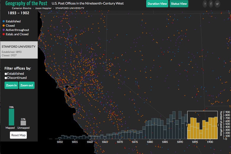
Stanford historian looks to the U.S. Postal Service to map the boom and bust of 19th-century American West
By the 1870s, a combination of gold rushes, railroad expansion and opportunities in farming, fishing and logging were drawing a steady influx of white settlers to the American West.
In response to the quickly expanding population, the U.S. Postal Service opened more than 14,000 new post offices between 1840 and 1900.
Stanford historian Cameron Blevins says the appearance (and disappearance) of these locations reveals how quickly the American West was integrated into the rest of the country.
As the largest spatial network of its time, the U.S. Postal Service in the 19th century played a "foundational role in connecting a sparsely settled region of miners, ranchers and soldiers," Blevins said.
A doctoral candidate who studies U.S. history and digital humanities, Blevins has developed Geography of the Post, an interactive digital platform that visualizes where and when post offices opened and closed. The locations act as proxies for communities, Blevins explained, and indicate which settlements were temporary and which evolved into long-lasting towns. ...
