Map calculates Roman travel times
A new online tool, made by a team of historians and information technology specialists at Stanford University, shows just how long and costly it was to send people and wheat between cities in the Roman Empire. "It's Google Maps for the ancient world, complete with the 'Avoid Highways' feature," Scott Weingart, a doctoral student in library sciences at the University of Indiana, wrote in a blog-post review. Weingart was not involved in creating the tool, called ORBIS, but its creators asked him to preview and comment on it. His review appeared May 4 in the Editor's Choice column in Digital Humanities Now....
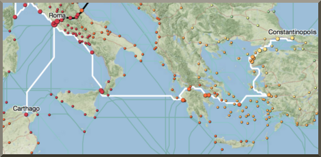
A new online tool, made by a team of historians and information technology specialists at Stanford University, shows just how long and costly it was to send people and wheat between cities in the Roman Empire. "It's Google Maps for the ancient world, complete with the 'Avoid Highways' feature," Scott Weingart, a doctoral student in library sciences at the University of Indiana, wrote in a blog-post review. Weingart was not involved in creating the tool, called ORBIS, but its creators asked him to preview and comment on it. His review appeared May 4 in the Editor's Choice column in Digital Humanities Now....